Up the Tamar
Explorers, settlers, ships' pilots and news all came up this river. A slow day along both banks, from the wetlands to the oldest pilot station in Australia, and home on the water, up Cataract Gorge.
This wasn't the plan. The plan was six hours of driving to the Bay of Fires, and at 7:15 on Thursday morning we were too tired for it. (That version is still here, if you have more energy than we did.)
So we did the river instead. The Tamar runs from Launceston out to Bass Strait, and almost everything that arrived in northern Tasmania came up it. Today goes up one bank and down the other, in short hops, stopping only where there's a story.
The map
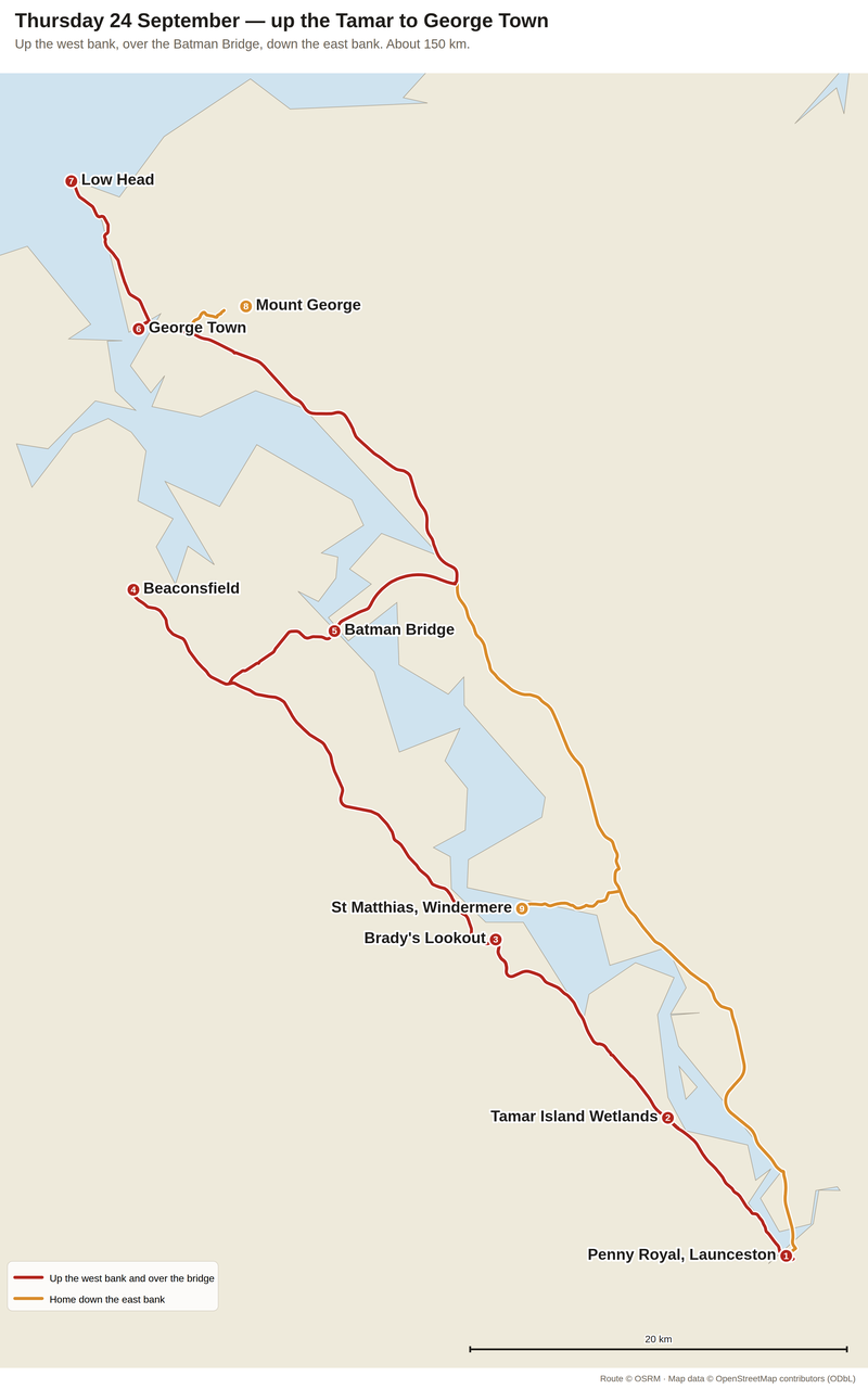
Up the west bank, over the Batman Bridge, down the east bank: about 150 km, and no drive longer than half an hour. Route via OSRM, map data OpenStreetMap contributors.
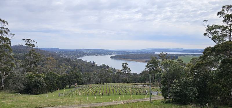
The Tamar from the hills, above a young vineyard.
1. The river takes its land back
Ten minutes out of Launceston, the Tamar Island Wetlands are 60 hectares of mudflats, lagoons and islands. Parks counts around 60 bird species here: black swans, ducks, egrets, cormorants, swamp harriers, and sometimes a white-bellied sea eagle.
Much of it was farmland once. The estuary is taking it back, and the native plants and animals are moving in behind it. A flat boardwalk runs out to a bird hide.
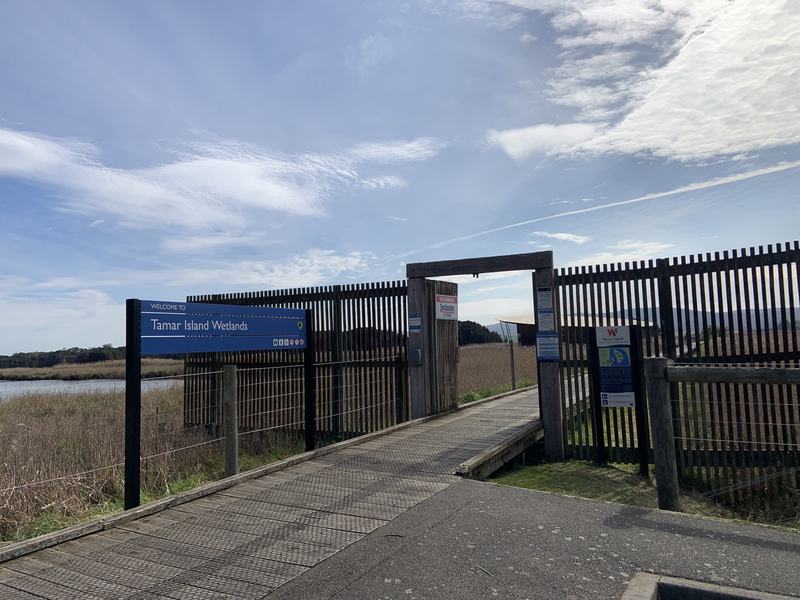
The way in. Photo: my sister.
2. The bushranger's view
Brady's Lookout stands on a cliff 140 metres above the river. On a clear day you can see more than 120 kilometres: south to the Ben Lomond massif, north almost to Bass Strait.
It's named after Matthew Brady, a bushranger who used the rocks as a hideout to watch the road below. Discover Tasmania's summary of him is hard to beat: he "irritated the government in his exploits while winning the hearts of the female colonists". The view is why he came.
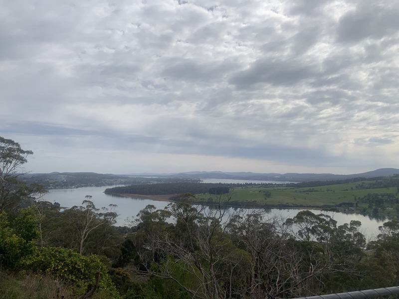
The river from a lookout, under cloud. Photo: my sister.
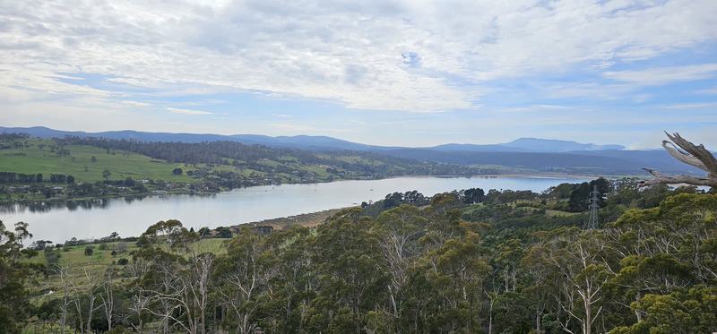
The Tamar again, farmland and hills beyond.
3. Two weeks, a kilometre down
Beaconsfield is a gold town, and on 25 April 2006, at 9:26 at night, its mine collapsed.
Larry Knight, 44, was killed. Brant Webb and Todd Russell were trapped nearly a kilometre underground, in the basket of a telehandler, with a muesli bar between them. They drank water that seeped through the rock, caught in their helmets.
Rescuers drilled down to them and lined the hole with pipe. Through it went water, food, a way to talk to the surface, and eventually iPods. On 9 May, after two weeks, the two men walked out.
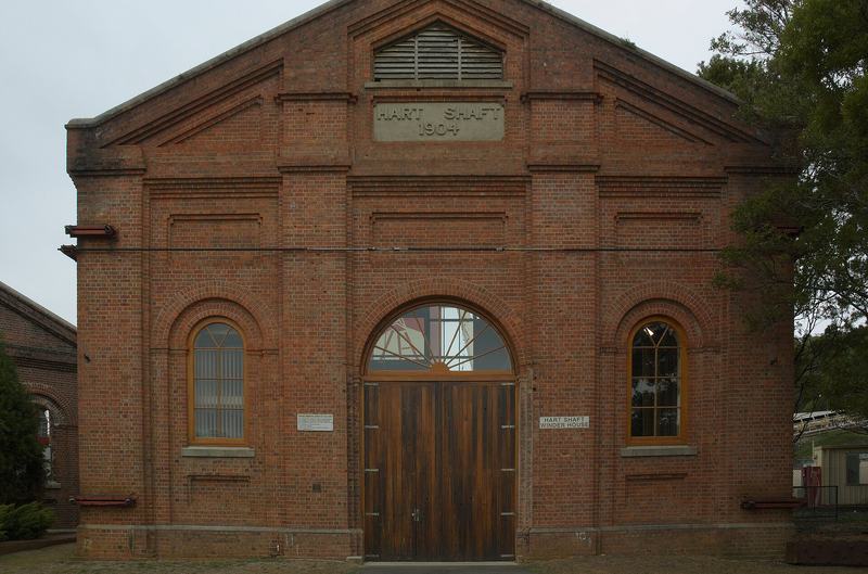
The Hart Shaft winder house at Beaconsfield, dated 1904. Photo: Gary Houston, Wikimedia Commons, CC0.

The Beaconsfield Mine & Heritage Centre tells that story next to the older one: the gold rush that built the town. There are tunnels to crawl through, if you want to feel how small the space was.
4. The first of its kind
The Batman Bridge crosses the Tamar at Sidmouth. Built between 1966 and 1968, it was Australia's first cable-stayed bridge: the whole deck hangs from one A-frame tower, 91 metres high, anchored in dolerite.
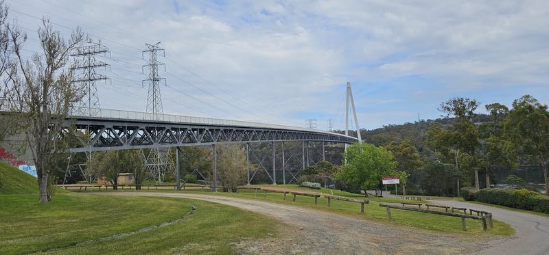
From the picnic ground underneath. One tower, the whole bridge.
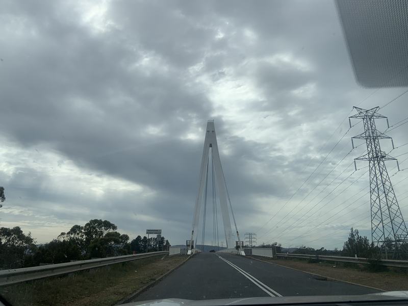
And across it. Photo: my sister.
It's named after John Batman, a Launceston businessman who went on to co-found Melbourne.
5. The boat that found the strait
In 1798–99, Matthew Flinders and George Bass sailed a small sloop, the Norfolk, all the way round Van Diemen's Land. It proved Tasmania was an island, and that the strait between it and the mainland was real. On the way, in 1798, they sailed into this river and called it Port Dalrymple.
On Monday night we crossed that strait on the Spirit of Tasmania. They did it in this.
In 1998–99 a Hobart man, Bern Cuthbertson, re-enacted every one of the Norfolk's voyages in a replica. That replica is now in the Bass & Flinders Maritime Museum in George Town, and you can go aboard.
6. A settlement at the river mouth
In November 1804, Colonel William Paterson arrived with four ships and 181 people, convicts, soldiers and one free settler, and started a settlement near here. George Town has been lived in ever since, which makes it one of the earliest European settlements in Australia.
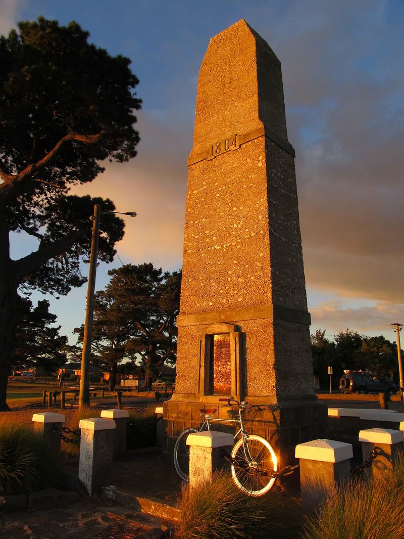
The obelisk marking Paterson's landing. Photo: Mousehammer, Wikimedia Commons, CC BY-SA 4.0.

Lunch was fish and chips from The Tasman Fish & Chip Co on Macquarie Street: a snack pack of seafood bites, no salt, $9.50, eaten on a bench outside.
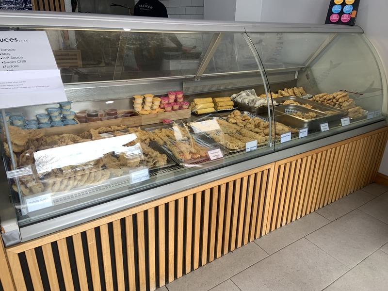
The cabinet at the Tasman Fish & Chip Co: battered fish, potato cakes, spring rolls and pots of sauce. Photo: my sister.
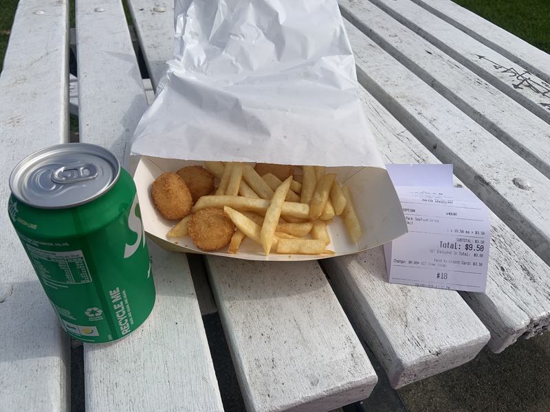
Lunch in George Town. Photo: my sister.
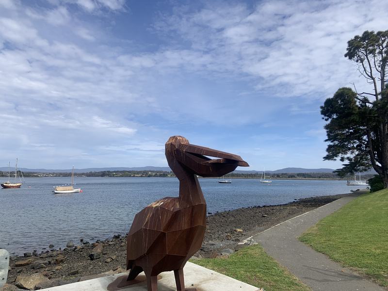
The pelican on the waterfront, watching the moorings. Photo: my sister.
7. The pilots
A river mouth is where ships run aground. At Low Head, pilots have been guiding them in since the first years of the settlement, making it Australia's oldest pilot station. The museum is in Pilots' Row, built by convicts in 1835.
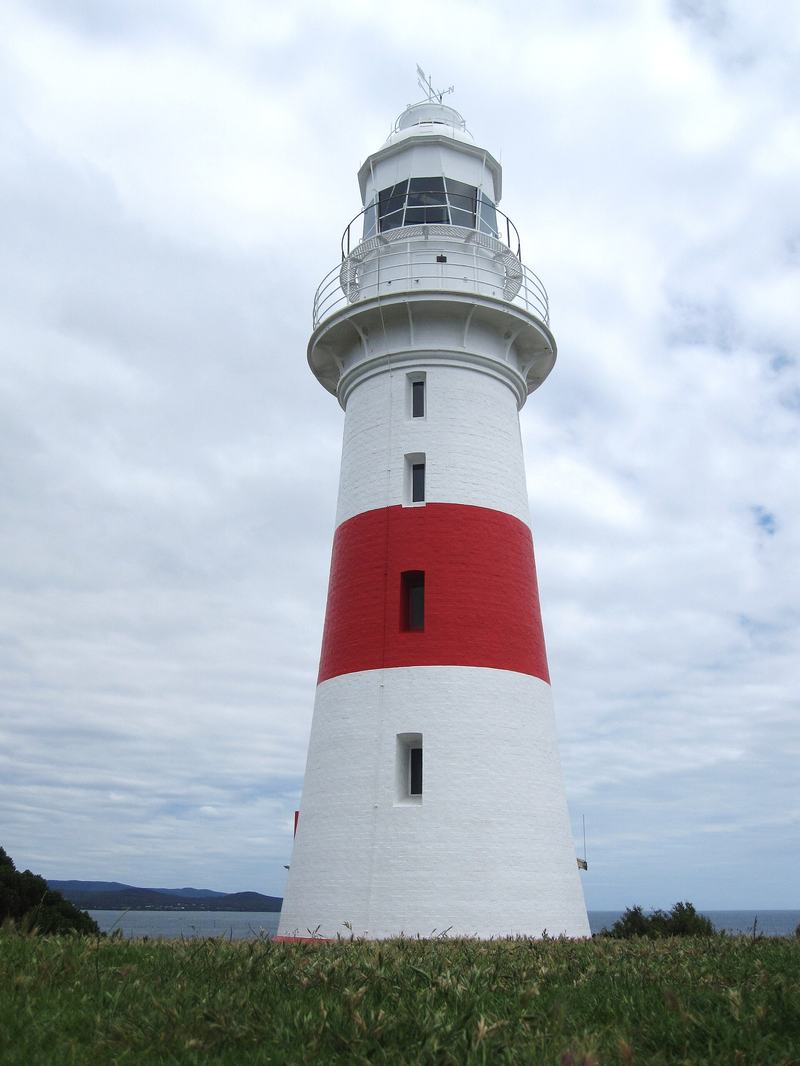
Beside it is the lighthouse, part of the third-oldest light station in Australia.
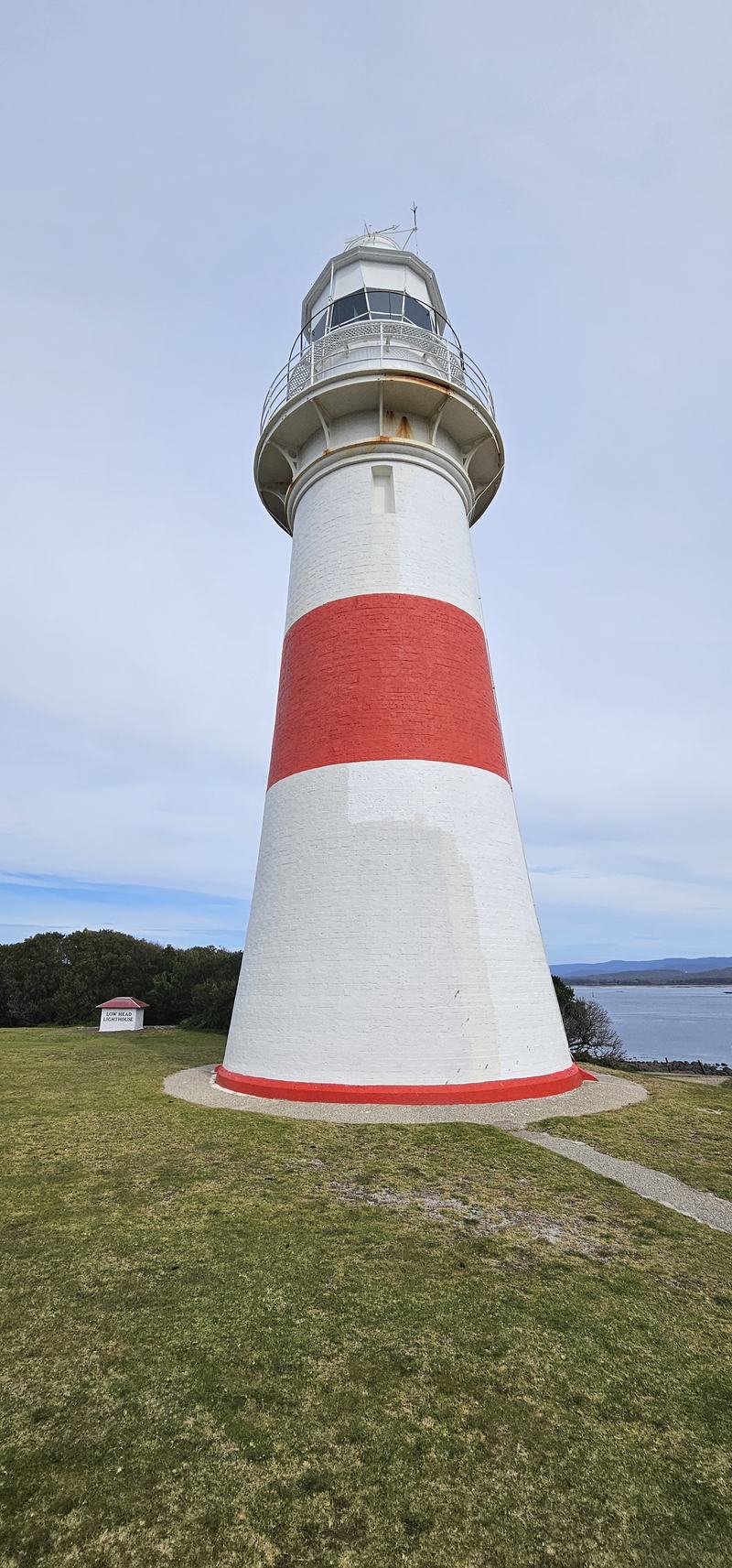
Low Head lighthouse, from the bottom.
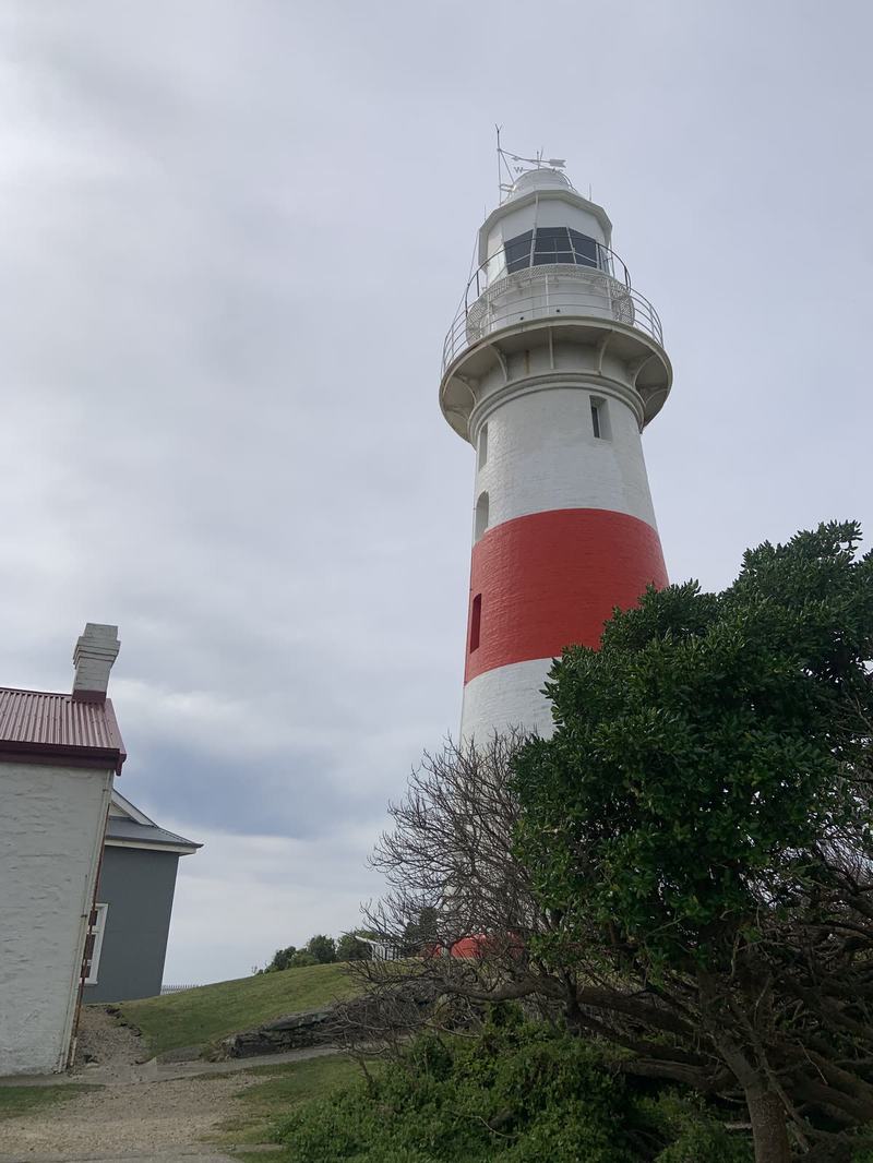
The tower with a whitewashed building beside it. Photo: my sister.
On Sundays at noon they sound the foghorn, the only working G-type foghorn in the Southern Hemisphere. We were here on a Thursday.
Below the lighthouse, the rocky point is a Little Penguin colony. We came in daylight, so no penguins: just the sign, the rocks, and Bass Strait flat and silver to the horizon.
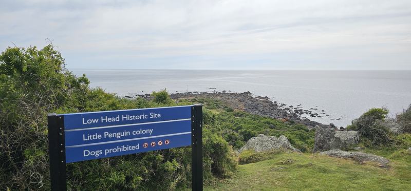
Where the Tamar ends and Bass Strait begins.
8. News by semaphore
Before the telegraph, news of a ship arriving had to reach Launceston somehow. By 1825 a chain of semaphore stations relayed messages up the valley, mast to mast. One stood on Mount George, behind George Town, where the lookout is now. The view is the reason it worked: you can see the river mouth and the strait.
9. A church on the bank
On the way home, St Matthias' Church at Windermere sits right on the riverbank. It was built in 1842, and has been in use ever since, which makes it one of the oldest rural churches in Australia. There's a phone audio tour of the graveyard, twenty minutes long.
10. The river from the water
By two o'clock we'd seen what we came for, with daylight to spare. So we drove back to Launceston and did the one thing the day was missing: we got on the river.
The Tamar River Cruises boat leaves from Home Point. Fifty minutes, out past the Seaport and up into Cataract Gorge: the same gorge we walked on Tuesday, seen from the water this time, with the cliffs closing in on both sides.
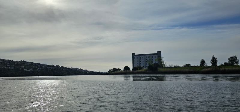
15:41. The Tamar from the boat, on the way to the gorge.
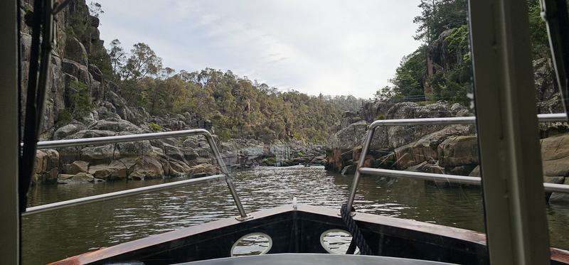
Up the gorge, from the bow.
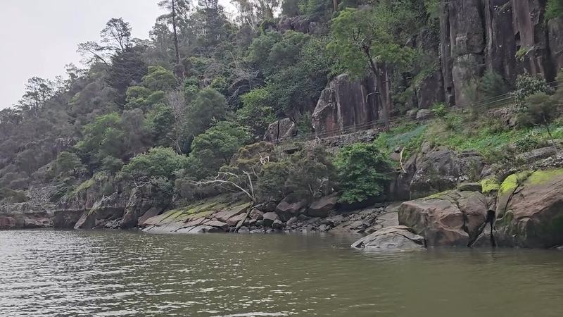
16:02. Four seconds of the gorge wall going by, close to the water.
From a boat, Kings Bridge is all underside: iron lattice overhead, and the little pavilion on the bank above.
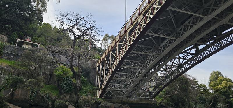
Kings Bridge, from underneath.
We started the day at the wetlands, where the river is taking its land back, and finished it on the water.
Look for
- Black swans from the bird hide at the wetlands.
- Ben Lomond, far to the south, from Brady's Lookout.
- The tunnels at Beaconsfield. Crawl through one.
- The single A-frame tower of the Batman Bridge, from the Sidmouth side.
- **How small the Norfolk is.** Two men sailed round Tasmania in that.
- Ships at the river mouth from Low Head, and the pilot boat that meets them.
- The pelican on the George Town waterfront.
The short version
- Morning — Tamar Island Wetlands, then up the west bank
- Over the Batman Bridge
- 12:37 — Fish and chips in George Town
- Afternoon — Low Head: the lighthouse and the penguin colony
- 15:30 — Back in Launceston and on the river: the Cataract Gorge cruise